


Temescal Creek Park
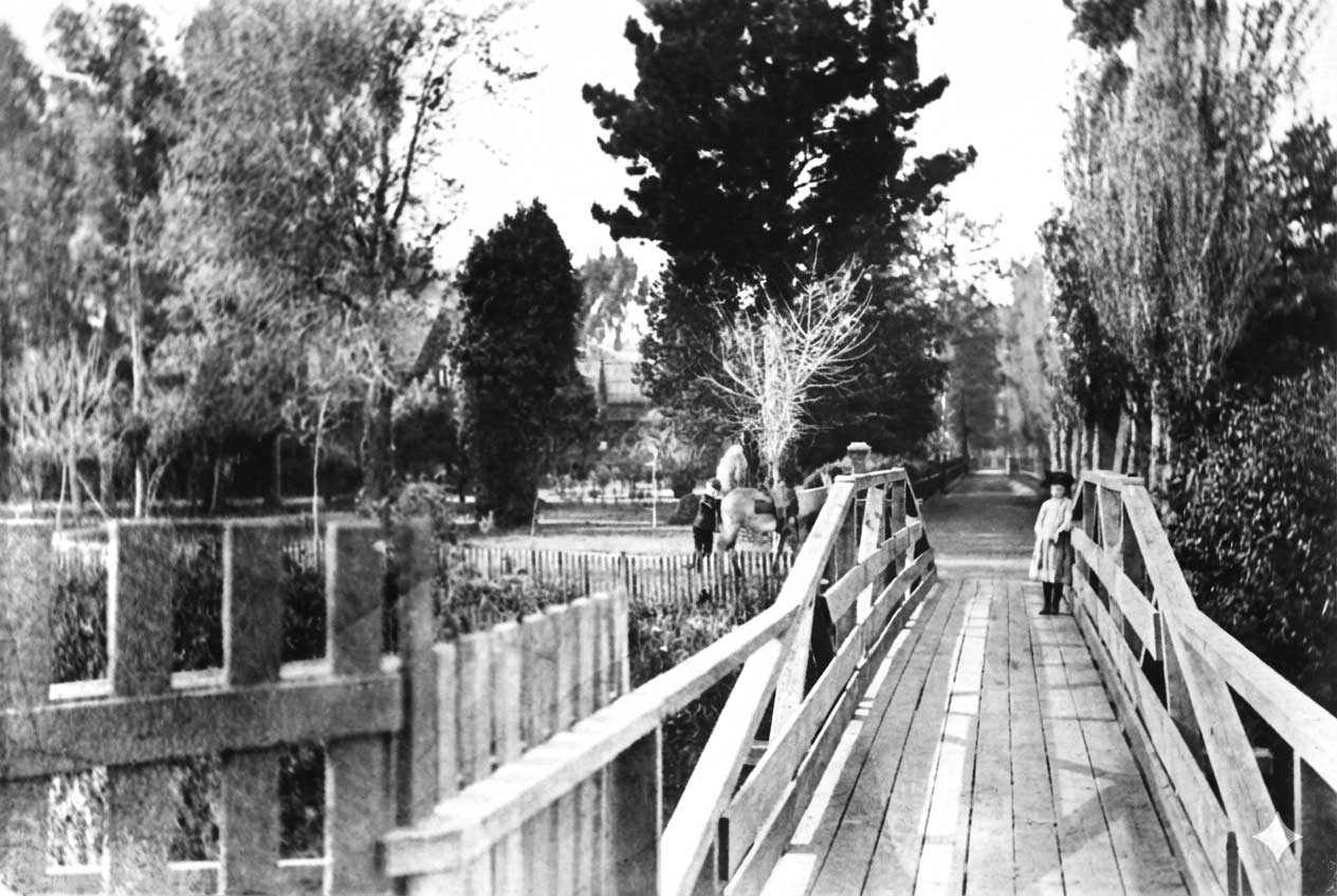
Where you’re standing, Temescal Creek once flowed openly from the North Oakland Hills westward toward San Francisco Bay. For thousands of years, the creek shaped the landscape, providing fresh water, food, and fertile land for the Huchiun Ohlone, who maintained villages in the surrounding area.
In earlier centuries, coho and chinook salmon ran upstream, supporting wildlife and a rich riparian ecosystem. Historical accounts also suggest the presence of California grizzly bears in the broader East Bay region during the 19th century.
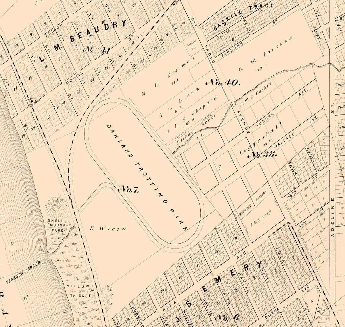
During the Spanish and Mexican eras, the creek became an important feature of José Vicente Peralta’s Rancho San Antonio, supplying water for cattle and agriculture. The name “Temescal” likely derives from the Nahuatl word temazcal, meaning a traditional Indigenous sweat lodge—a term introduced during the Spanish colonial period and reflecting broader Indigenous cultural influence.
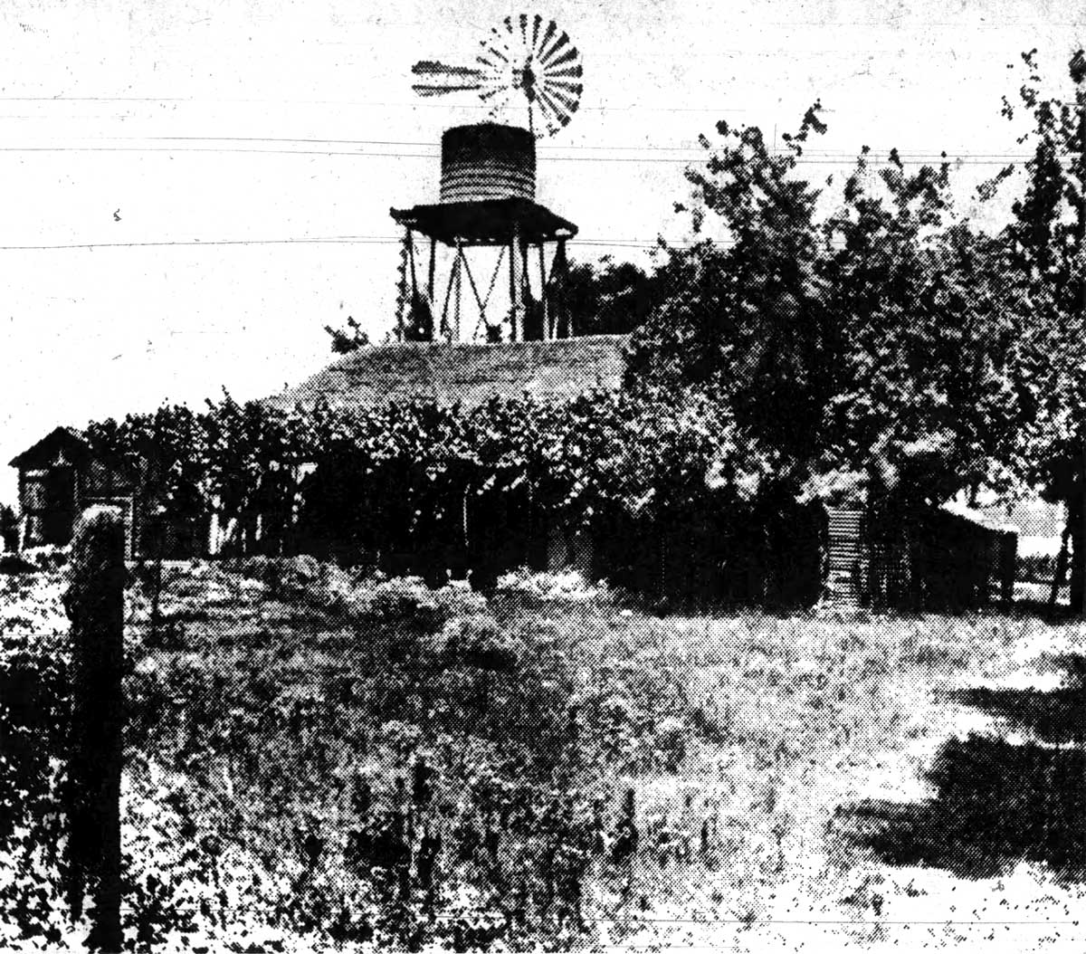
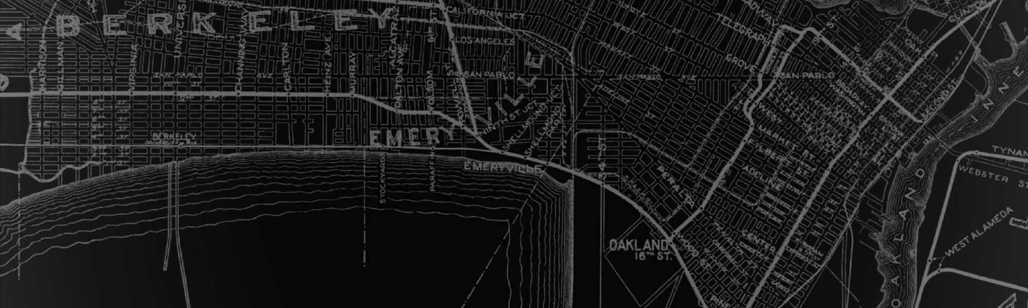
As the East Bay urbanized in the late 19th and early 20th centuries, the creek’s role shifted dramatically. Railroads, factories, warehouses, and landfills expanded along the Oakland–Emeryville border, transforming what had once been marshland and open shoreline into a dense industrial corridor. Portions of Temescal Creek—especially west of San Pablo Avenue—were buried in culverts to make room for development, while some upstream sections remained open for a time.
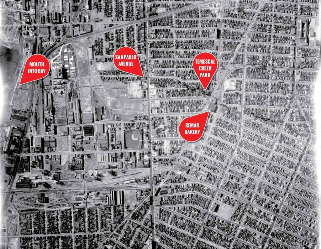
When Emeryville incorporated in 1896, Temescal Creek formed part of the municipal boundary between Emeryville and Oakland.
By the mid-20th century, the creek was increasingly viewed as a flood hazard and infrastructure challenge.
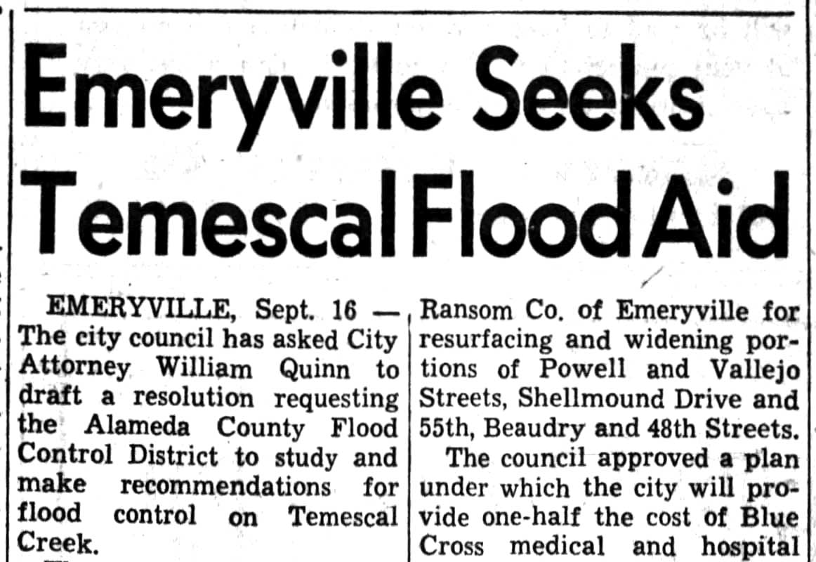
In 1958, The newly formed Alameda County Flood Control & Water Conservation District began surveying the creek to mitigate these ongoing issues.
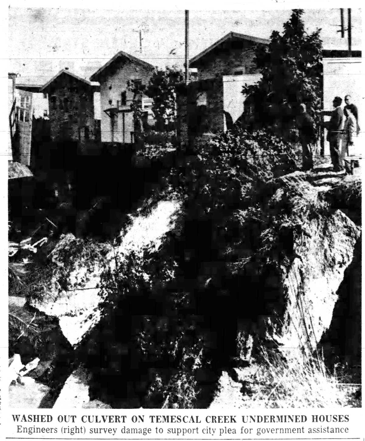
Seasonal storms caused repeated overflows, and notably heavy rains in 1962 led to documented property damage in nearby residential and industrial areas. Contemporary reports describe erosion, flooding, and financial losses amounting to tens of thousands of dollars.
Industrial pollution further degraded water quality and reduced habitat along the creek’s banks. In response, public agencies increasingly treated the creek as a drainage system rather than a natural resource. Debris racks were installed in 1964 to prevent culvert blockages, and during construction of the Grove-Shafter Freeway from 1967–1968, long stretches of the creek were rerouted underground. By the late 1960s, much of Temescal Creek in Emeryville flowed through culverts and concrete-lined channels.
A new chapter began around 1990, with construction of Temescal Creek Park, a small linear green space running roughly between 47th and 48th Streets. Developed through a joint effort by Oakland and Emeryville, with support from the Emeryville Redevelopment Agency, the park reflected a growing regional movement to reclaim post-industrial land for public use, environmental education, and recreation.
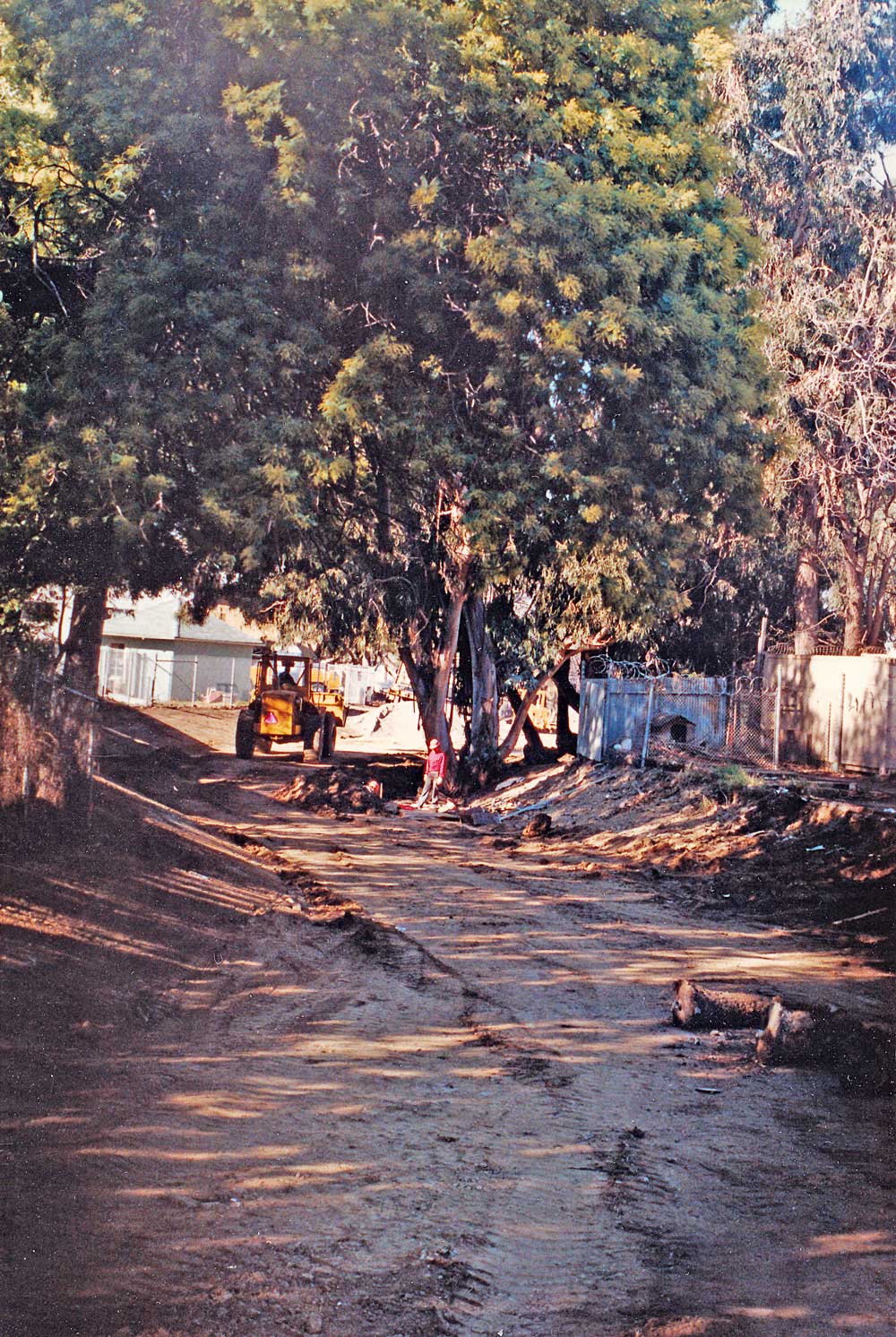
Rather than fully restoring the creek, the park represents a partial re-emergence of the waterway—allowing visitors to see and acknowledge a stream that had long been hidden beneath streets and structures. Over time, the site has been enhanced with landscaping, habitat features, interpretive signage, and connections to Emeryville’s broader green-space network.
Today, Temescal Creek Park symbolizes transformation—from Indigenous homeland to industrial corridor to public greenway—highlighting layered history, urban renewal, and ongoing efforts to restore buried waterways and reconnect communities with nature.