


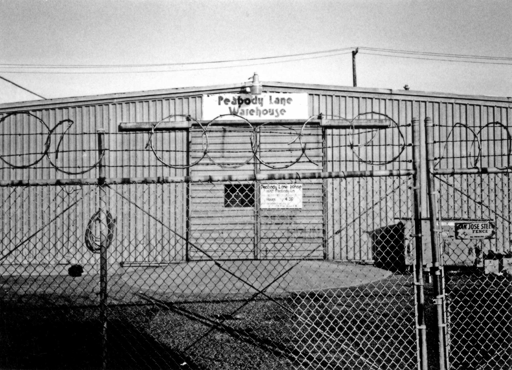
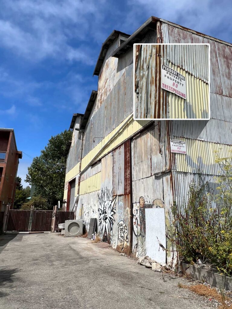
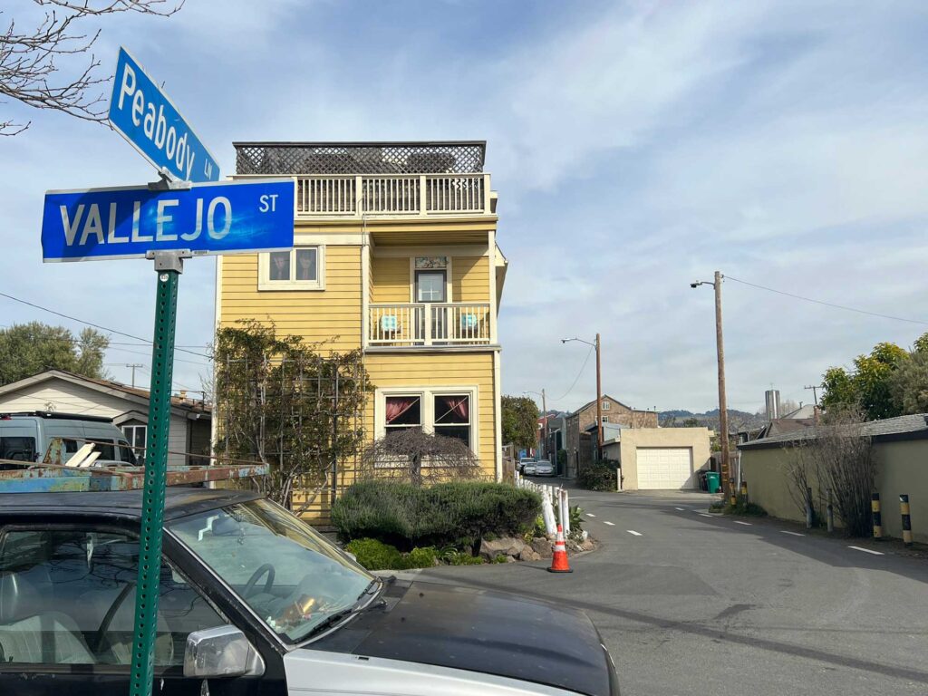
Peabody Lane
You’re standing near where one of Emeryville’s original streets now terminates. The private property between the Baker Metal building and the small stucco condominiums to the right leads to Peabody Lane.
Originally known as “Peabody’s Lane,” this narrow street is among the most obscure, and oldest in Emeryville and North Oakland.
The narrow alleyway that dates back to 1856 is named after Jonathan Allen Peabody, a sailor born circa 1830 who arrived in California in 1851.
In the early gold rush era, there were only a few trails leading to and from the sparsely scattered homesteads across the land once owned by José Vicente Peralta.
In an age when most transport and travel was by horse-drawn wagon over roads that were dusty in summer and muddy during winter, shorter and more direct routes were needed.
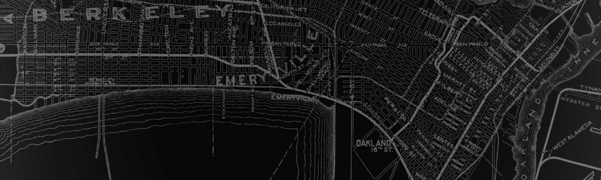
In 1852, newly-constituted Alameda County hired civil engineer Julius Kellersberger to lay out a new road from 14th Street and Broadway in downtown Oakland, all the way to the city of San Pablo. This road, today’s San Pablo Avenue, passed through what is now Emeryville.
A number of wharves were built along the shoreline near the mouth of Temescal Creek to accommodate freight and travel from the bay to San Pablo Road. During this time, San Pablo Road developed into a major travel corridor..
One of these wharves built by Jonathan Peabody was “Peabody’s Landing” that connected to San Pablo Road via a simple dirt path. By 1857, Peabody maintained at least one warehouse along what would become Peabody’s Lane.
In the mid-1870s, the Northern Railway (later Southern Pacific) extended its tracks along the shoreline of today’s Emeryville, crossing the western end of Peabody’s Lane.
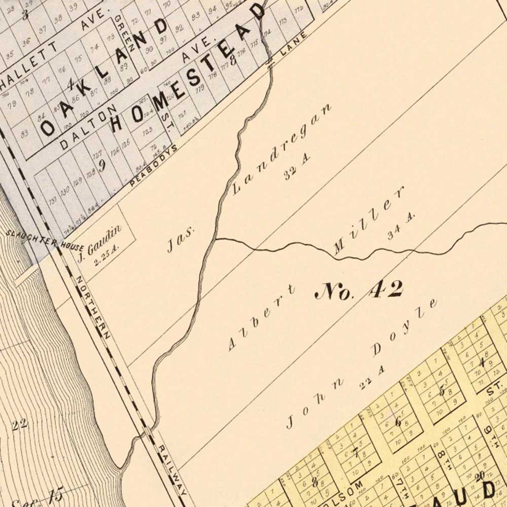
In the late 1870s, a stockyard district began developing between the tracks and the bayshore in northeast Emeryville. This area came to be known as Butchertown and it would soon engulf Peabody’s Landing.
By the turn of the century, Peabody’s Lane was truncated on the east side of the tracks and was lined by farmsteads and stockyards. Presumably, stock could still be herded across the tracks to the slaughterhouses to the west. Maps around this time frame refer to this street as Peabody Lane.
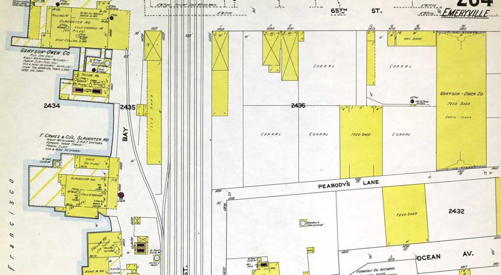
The Southern Pacific rail spur shown in the map below was built in 1911 that truncated the lane to about half of its original length.
By the mid-20th century, Butchertown was in decline and the area was shifting to warehouses and light industrial use. In the 1990s, the area began shifting to more residential uses.
The alley now ends just east of Doyle Street and access to Peabody Lane from the Greenway is blocked by a private development. The lane is mostly accessed today by backyard fences and garages of residences on Ocean Avenue and 65th Street which parallel Peabody Lane.
Further west, it survives as the access driveways behind the Glashaus Condos and Courtyards at 65th apartments and cuts through the Artistry property. The old wharf area now lies buried under bayfill.
This story is an updated version of the originally researched centennial story by EHS co-founder Richard D. Ambro.